Pléiades – Metropolitan France Coastlines 2026
135 scenes covering the coastlines of metropolitan France, from Corsica to Finistère and Normandy, acquired at 50 cm spatial resolution between 1 March and 21 April 2026.
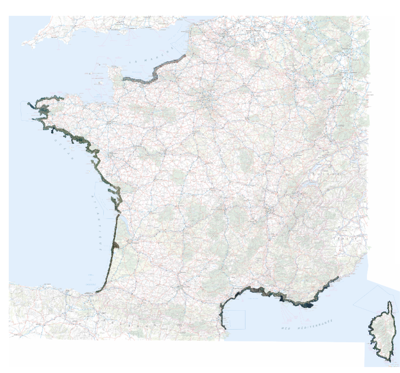
Funded by CNES since 2017, this annual coverage of coastlines in metropolitan France and overseas territories is used to monitor the evolution of the coastline.
This data is freely accessible to institutional and private stakeholders involved in public policy or R&D, particularly local and national stakeholders.
Pending the availability of raw and orthorectified images in the DINAMIS catalogue, the data can be requested by email at images-satellites@ign.fr, and the archives since 2017 can be consulted at https://catalogue-dinamis.data-terra.org.
It is also available as a web service at https://cartes.gouv.fr/rechercher-une-donnee/dataset/IGNF_ORTHO-SAT
Acquisition is currently underway for the North Brittany, Cotentin, and Hauts-de-France coastlines.