
Pléiades – Val d’Oise 2026
4 scenes covering the Val d’Oise département, acquired at 50 cm spatial resolution between 15 and 22 March 2026.
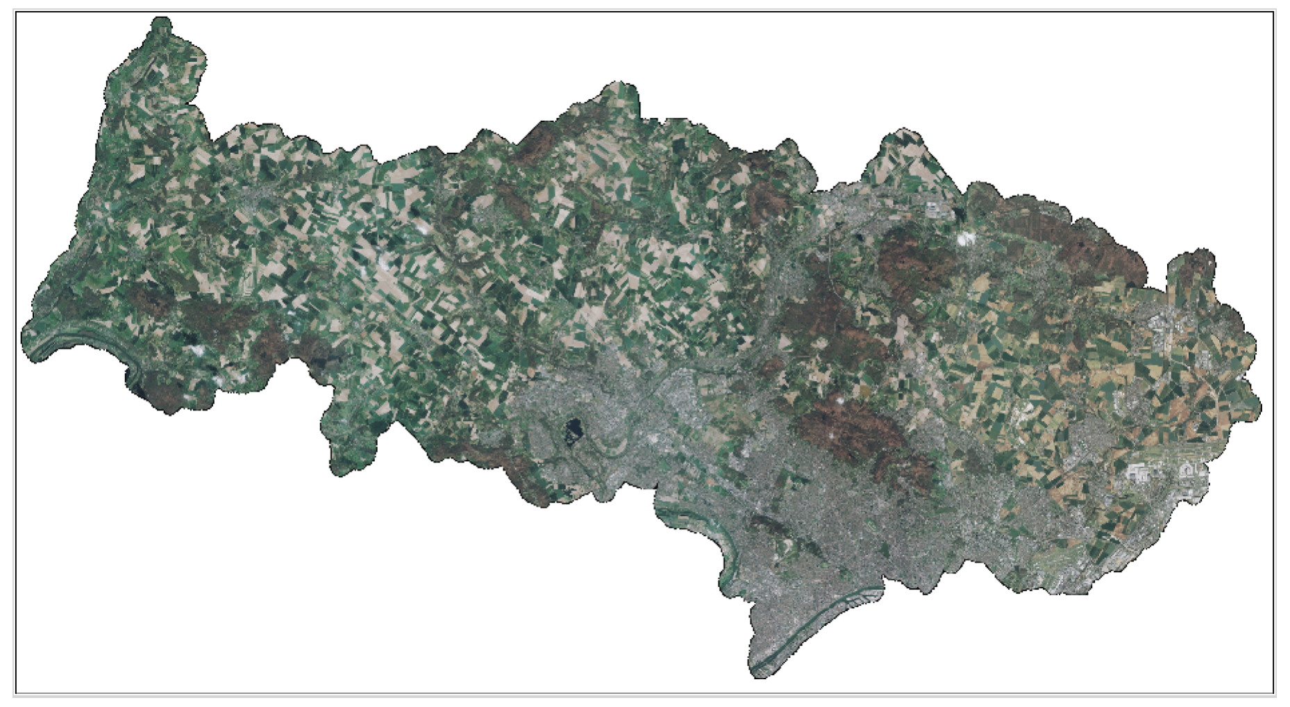
Funded by Val d’Oise Numérique, the project is used to detect illegal waste dumps and dumping sites as small as 4m² several times a year.
Predictions generated by artificial intelligence on Pléiades very-high-resolution data are integrated into a securely accessible online platform.
This data is freely accessible to institutional and private stakeholders involved in public policy or R&D, particularly local and national stakeholders.
Pending the availability of raw and orthorectified images in the DINAMIS catalogue, the data can be requested by email at images-satellites@ign.fr, and the archives since 2017 can be consulted at https://catalogue-dinamis.data-terra.org.
It is also available as a web service at https://cartes.gouv.fr/rechercher-une-donnee/dataset/IGNF_ORTHO-SAT

