WELCOME TO THE DINAMIS WEBSITE
DINAMIS—the French national facility for institutional procurement of VHR satellite imagery—is a platform that acquires and distributes satellite Earth imagery for French and foreign institutional users under specific subscription conditions.
The platform aims to further institutional uptake of satellite data for programmes in the public interest in fields such as the environment, education and development of innovative services for:
• Research and development: fundamental and applied research, early-stage development and demonstration phases
• Land management and planning
• Environmental monitoring and management
• Innovative products & services
DINAMIS provides access to a bouquet of very-high-resolution commercial optical satellite data and its associated services.
News
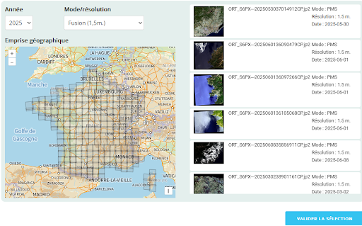
Metropolitan France 2025 coverage available as Open Data
Since October 2023, orthorectified products from Spot 6-7 coverages of metropolitan France have been released as Open Data at https://openspot-dinamis.data-terra.org. This experimental initiative, led by DINAMIS with the support of Airbus […]
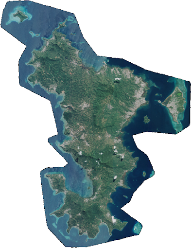
Mayotte stéréo 2026
Pléiades 📡 2 scenes covering Mayotte, excluding the lagoon, acquired at 50 cm spatial resolution between 6 May and 17 June 2026, as part of the monitoring following storm Chido, […]
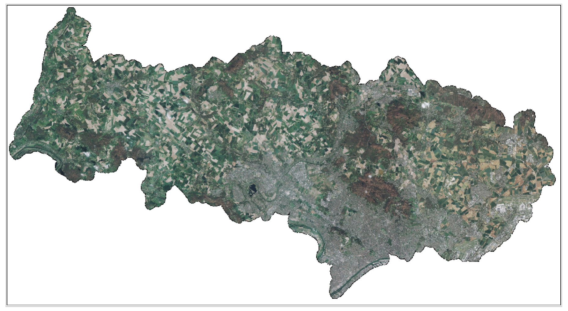
Pléiades – Val d’Oise 2026
4 scenes covering the Val d’Oise département, acquired at 50 cm spatial resolution between 15 and 22 March 2026. Funded by Val d’Oise Numérique, the project is used to detect […]