
Metropolitan France 2025 coverage available as Open Data
Since October 2023, orthorectified products from Spot 6-7 coverages of metropolitan France have been released as Open Data at https://openspot-dinamis.data-terra.org.
This experimental initiative, led by DINAMIS with the support of Airbus Defense & Space, responds to a demand for data openness expressed by users. It aims to facilitate and boost innovation and the development of new information-based services at local and national scales, based on Spot 6-7 time series data.
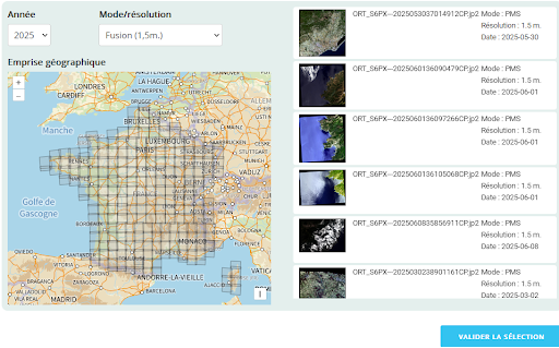
Good news: the 2025 Metropolitan France coverage is now available at https://openspot-dinamis.data-terra.org/.
You can also access IGN’s WMS web services on cartes.gouv.fr, available at https://cartes.gouv.fr/rechercher-une-donnee/dataset/IGNF_ORTHO-SAT

