Pays Basque 2026
18 scenes covering the SCOT Pays Basque et Seignanx acquired at 50 cm spatial resolution from 8 June to 22 July 2026 for communaute-paysbasque.fr, to map and monitor territorial planning. This data is […]

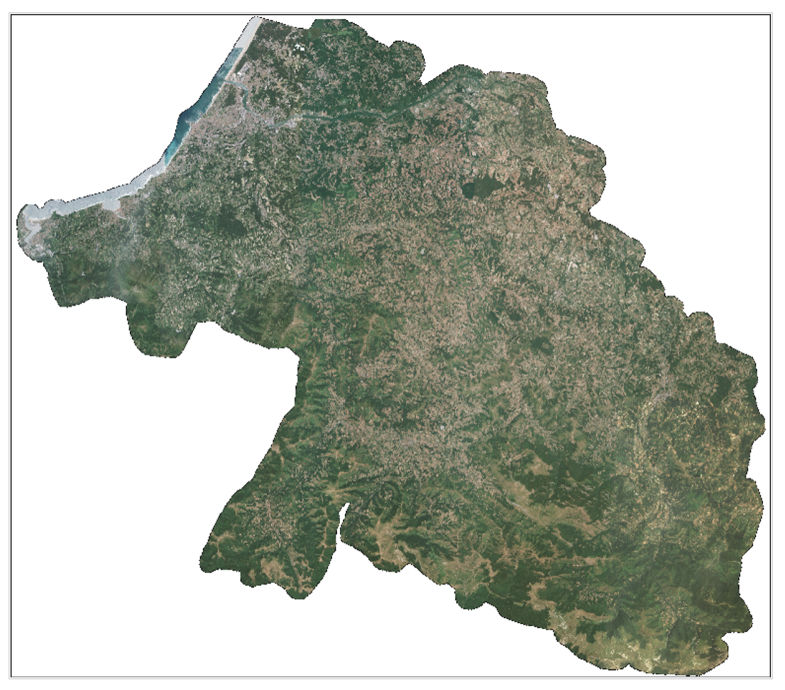
18 scenes covering the SCOT Pays Basque et Seignanx acquired at 50 cm spatial resolution from 8 June to 22 July 2026 for communaute-paysbasque.fr, to map and monitor territorial planning. This data is […]
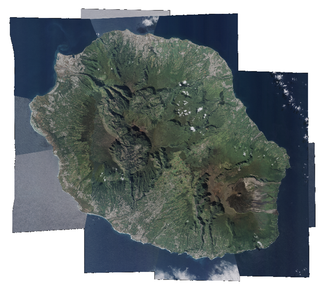
17 scenes covering Réunion Island acquired at 50 cm spatial resolution between 1 January and 24 May 2026, as part of research programming. This is an opportunity-based coverage. The data […]
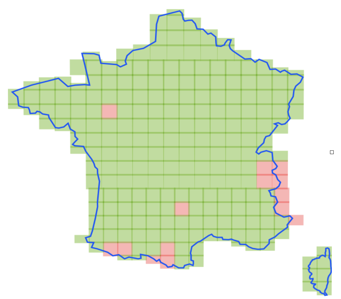
Complete very high-resolution coverage of metropolitan France for 2026 is nearing completion! The very high-resolution coverage of metropolitan France for 2026 by the Spot 6 satellite, which began on 1 […]
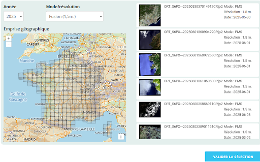
Since October 2023, orthorectified products from Spot 6-7 coverages of metropolitan France have been released as Open Data at https://openspot-dinamis.data-terra.org. This experimental initiative, led by DINAMIS with the support of Airbus […]
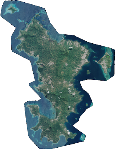
Pléiades 📡 2 scenes covering Mayotte, excluding the lagoon, acquired at 50 cm spatial resolution between 6 May and 17 June 2026, as part of the monitoring following storm Chido, […]
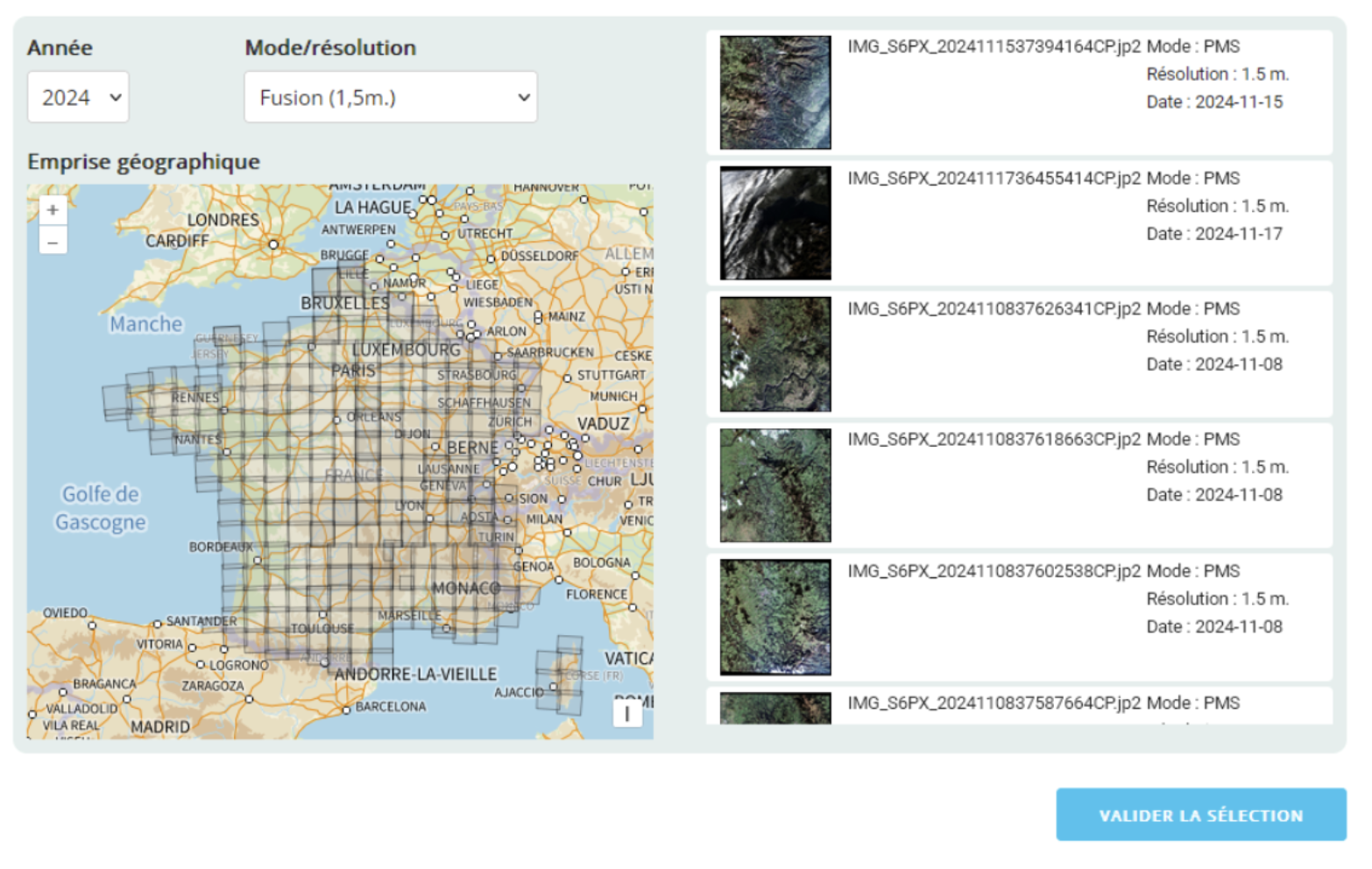
Since October 2023, orthorectified products from Spot 6-7 coverages of Metropolitan France have been distributed as Open Data at https://openspot-dinamis.data-terra.org. This initiative, led by DINAMIS with support from Airbus Defense & […]

Since October 2023, orthorectified Spot 6-7 coverage products for mainland France have been available in Open Data https://openspot-dinamis.data-terra.org. This experiment, carried out by DINAMIS with the support of Airbus, is […]