New Metropolitan France Coverages Available in Open Data
Since October 2023, orthorectified products from Spot 6-7 coverages of Metropolitan France have been distributed as Open Data at https://openspot-dinamis.data-terra.org.
This initiative, led by DINAMIS with support from Airbus Defense & Space, addresses user requests for data accessibility. It aims to facilitate and accelerate innovation and the development of new information services at local and national scales using Spot 6-7 time series data.
Good News: France 2024 Coverage is Now Available
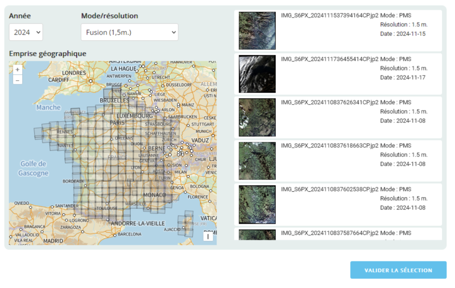
Data from 2017 through 2024 are now accessible in Open Data at https://openspot-dinamis.data-terra.org/ by selecting “Fusion (1.5m)” mode.
Fused or Pansharpened data are products that combine the visual information from Multispectral data with the spatial information from Panchromatic data, delivering a high-resolution color product at 1.5 meters.