Reunion Island 2025
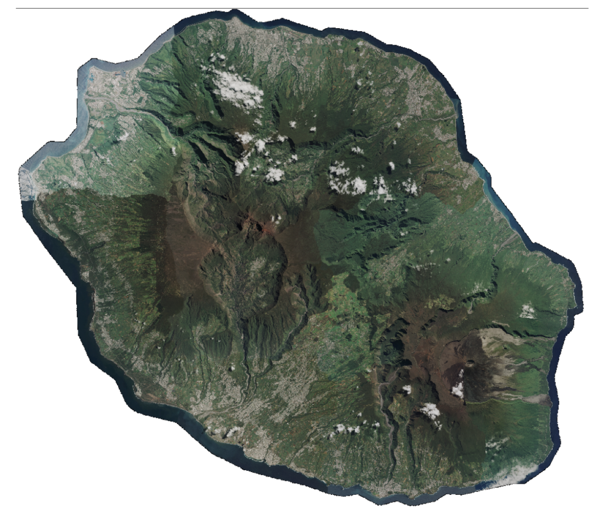
#Pléiades 📡 11 scenes covering Reunion Island acquired at 50 cm spatial resolution between March 2 and May 20, 2025, as part of the annual coastal coverage funded by CNES. […]

News
#Pléiades 📡 11 scenes covering Reunion Island acquired at 50 cm spatial resolution between March 2 and May 20, 2025, as part of the annual coastal coverage funded by CNES. […]

News
Dinamis will be present at the Living Planet Symposium 2025 (LPS25) in Vienna, Austria, from June 23 to 27. This major Earth observation event brings together the international scientific community […]
News
To improve overall platform performance and service stability, a major upgrade of the production virtualization platform is scheduled. Dates : Monday June 10 and Tuesday June 11, 2025Times: 9:00 am […]

News
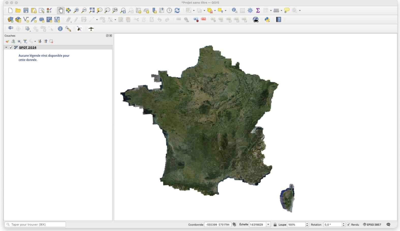
The coverage of mainland France acquired in 2024 at very high spatial resolution by Spot 6 is now online on the DINAMIS website catalog. A total of 240 meshes (60km […]
News
#SPOT 📡 271 scenes covering mainland France at 1.50m spatial resolution between March 19 and November 17, 2024. Funded since 2014 by CNES, IRD, INRAE, CIRAD, CNRS, IGN, the annual […]
News
The DINAMIS team invites you to join us online on Tuesday June 17 from 9:30 to 11 a.m. . Following on from the Spring Webinar dedicated to urban issues, this […]
News
Here are the best practices to adopt in the event of maintenance: 1- To stay informedCheck regularly: 👉 This is the first thing you should do to keep up with […]

News
Since October 2023, orthorectified Spot 6-7 coverage products for mainland France have been available in Open Data https://openspot-dinamis.data-terra.org. This experiment, carried out by DINAMIS with the support of Airbus, is […]

News
DINAMIS has ordered post-crisis Pleiades coverage of Mayotte from January 5. This regular monoscopic programming (angles of less than 20° and less than 10% cloud cover) will be followed by […]