France SPOT 2024 coverage

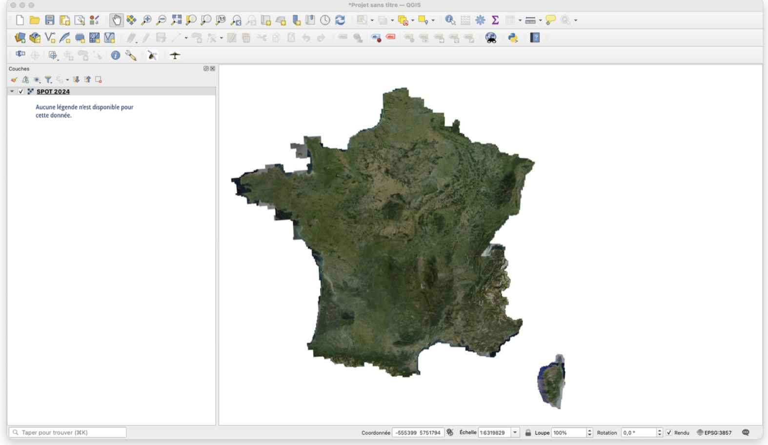
#SPOT 📡  271 scenes covering mainland France at 1.50m spatial resolution between March 19 and November 17, 2024.


Funded since 2014 by CNES, IRD, INRAE, CIRAD, CNRS, IGN, the annual coverage enables numerous uses.

The France SPOT 2024 coverage is now available as a stream for integration into your GIS, such as QGis : https://data.geopf.fr/annexes/ressources/wmts/satellite.xml

More news

Pays Basque 2026

18 scenes covering the SCOT Pays Basque et Seignanx acquired at 50 cm spatial resolution from 8 June to 22 July 2026 for communaute-paysbasque.fr, to map and monitor territorial planning. This data is […]

Réunion Island 2026

17 scenes covering Réunion Island acquired at 50 cm spatial resolution between 1 January and 24 May 2026, as part of research programming. This is an opportunity-based coverage. The data […]

2026 Metropolitan France coverage

Complete very high-resolution coverage of metropolitan France for 2026 is nearing completion! The very high-resolution coverage of metropolitan France for 2026 by the Spot 6 satellite, which began on 1 […]

Search