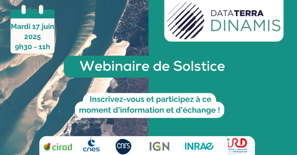
Solstice Webinar: Save the date !
The DINAMIS team invites you to join us online on Tuesday June 17 from 9:30 to 11 a.m. .
Following on from the Spring Webinar dedicated to urban issues, this new edition will highlight use cases for THRS data distributed by DINAMIS, with a particular focus on water resources.
Program:
- Mapping emerging dead trunks on a large tropical reservoir (Petit-Saut, French Guiana) using Pleiades imagery.
- Spatial tools and products for the coast
- Monitoring aquatic ecosystems using THRS imagery.
- Progress monitoring of infrastructure (locks, water bridges, diversion bays, etc.) and environmental impacts.
The webinar will alternate between information points and question-and-answer sessions.Vous souhaitez participer à ce webinaire , inscrivez-vous ici ⤵️
We look forward to seeing you there!