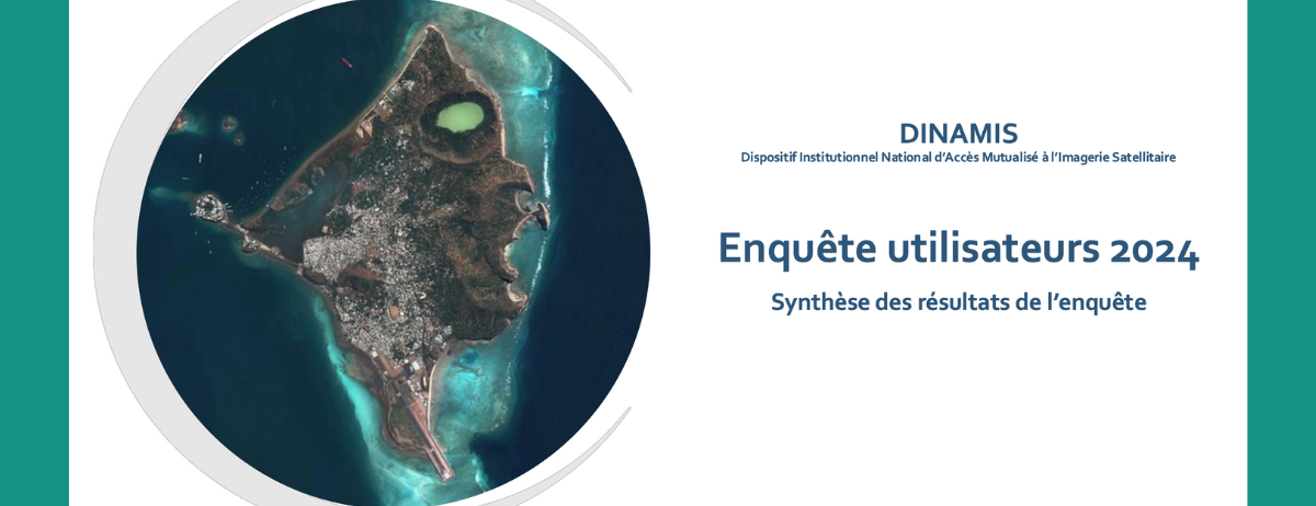
User Survey: A Well-Regarded Program with Opportunities for Enhancement
In 2024, DINAMIS engaged its community to better understand usage patterns, needs, and ideas for improvement.
The results indicate high overall satisfaction, with 81% of respondents rating the program as useful or very useful, and 92% reporting that the imagery provided has been beneficial to their work.
The most frequent uses involve imagery requests and catalog consultation, particularly for land cover monitoring, environmental studies, and detection of territorial changes.
The survey also highlights areas for improvement: simplifying the catalog interface, expanding service offerings (API, mosaics, online processing), and better communicating usage quotas. Respondents also expressed interest in integrating new imagery sources (Pléiades Neo, radar, hyperspectral) and accessing additional training opportunities.
This valuable feedback guides the evolution of DINAMIS toward services that are increasingly effective and aligned with user needs.
👉 View the complete survey results here: 2024 Survey Results