Reunion Island 2025

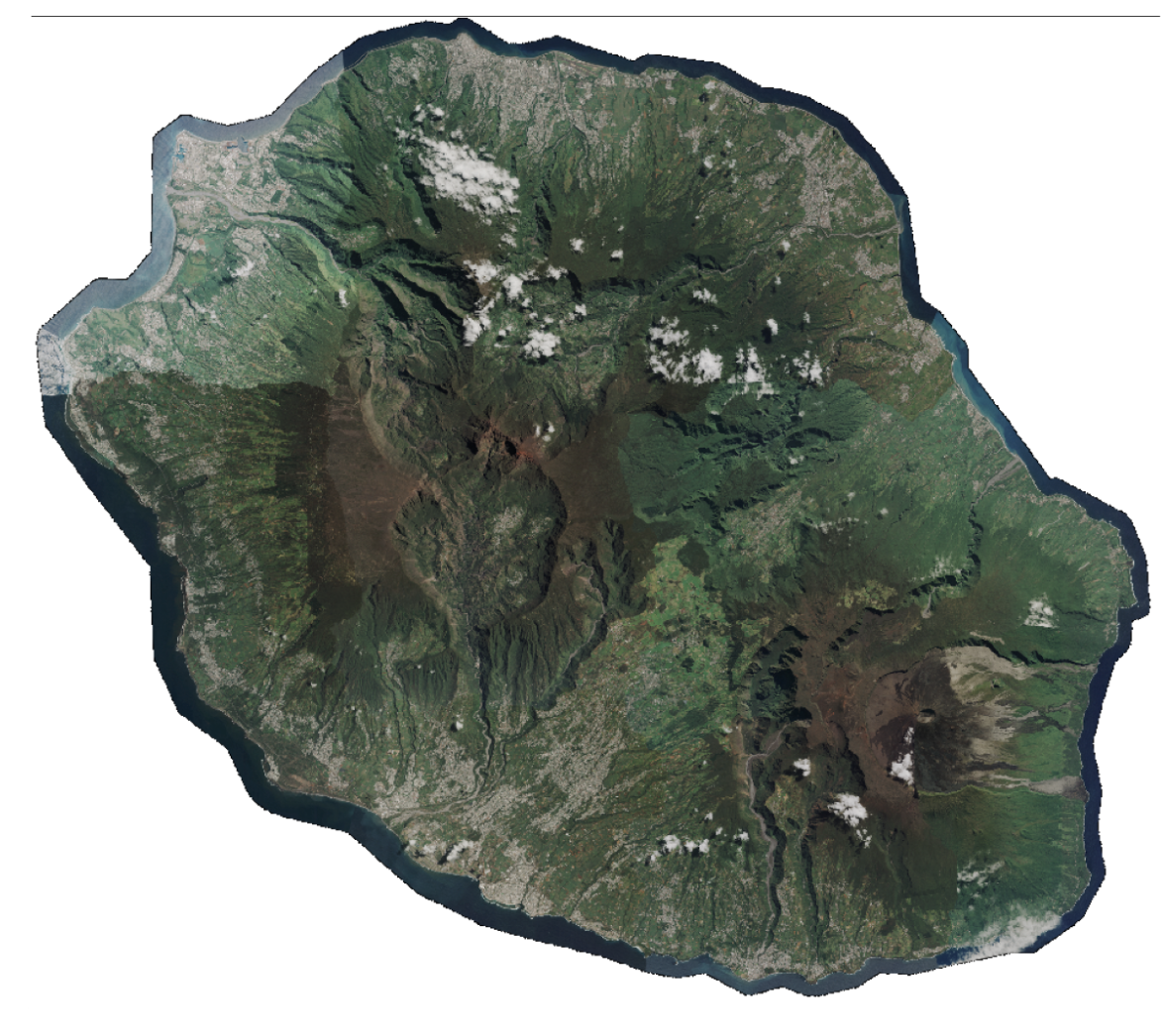
#Pléiades 📡 11 scenes covering Reunion Island acquired at 50 cm spatial resolution between March 2 and May 20, 2025, as part of the annual coastal coverage funded by CNES.

These data are freely accessible to institutional and private stakeholders responsible for public policy or R&D activities, particularly local territorial stakeholders and national actors.

Pending the availability of imagery in raw and orthorectified formats in the DINAMIS catalog, data can be requested via email at images-satellites@ign.fr, and archives dating back to 2017 can be consulted at https://catalogue-dinamis.data-terra.org.
More news

Metropolitan France 2025 coverage available as Open Data

Since October 2023, orthorectified products from Spot 6-7 coverages of metropolitan France have been released as Open Data at https://openspot-dinamis.data-terra.org. This experimental initiative, led by DINAMIS with the support of Airbus […]

Mayotte stéréo 2026

Pléiades 📡 2 scenes covering Mayotte, excluding the lagoon, acquired at 50 cm spatial resolution between 6 May and 17 June 2026, as part of the monitoring following storm Chido, […]

Pléiades – Val d’Oise 2026

4 scenes covering the Val d’Oise département, acquired at 50 cm spatial resolution between 15 and 22 March 2026. Funded by Val d’Oise Numérique, the project is used to detect […]

Search