French Metropolitan Coastal Areas 2025
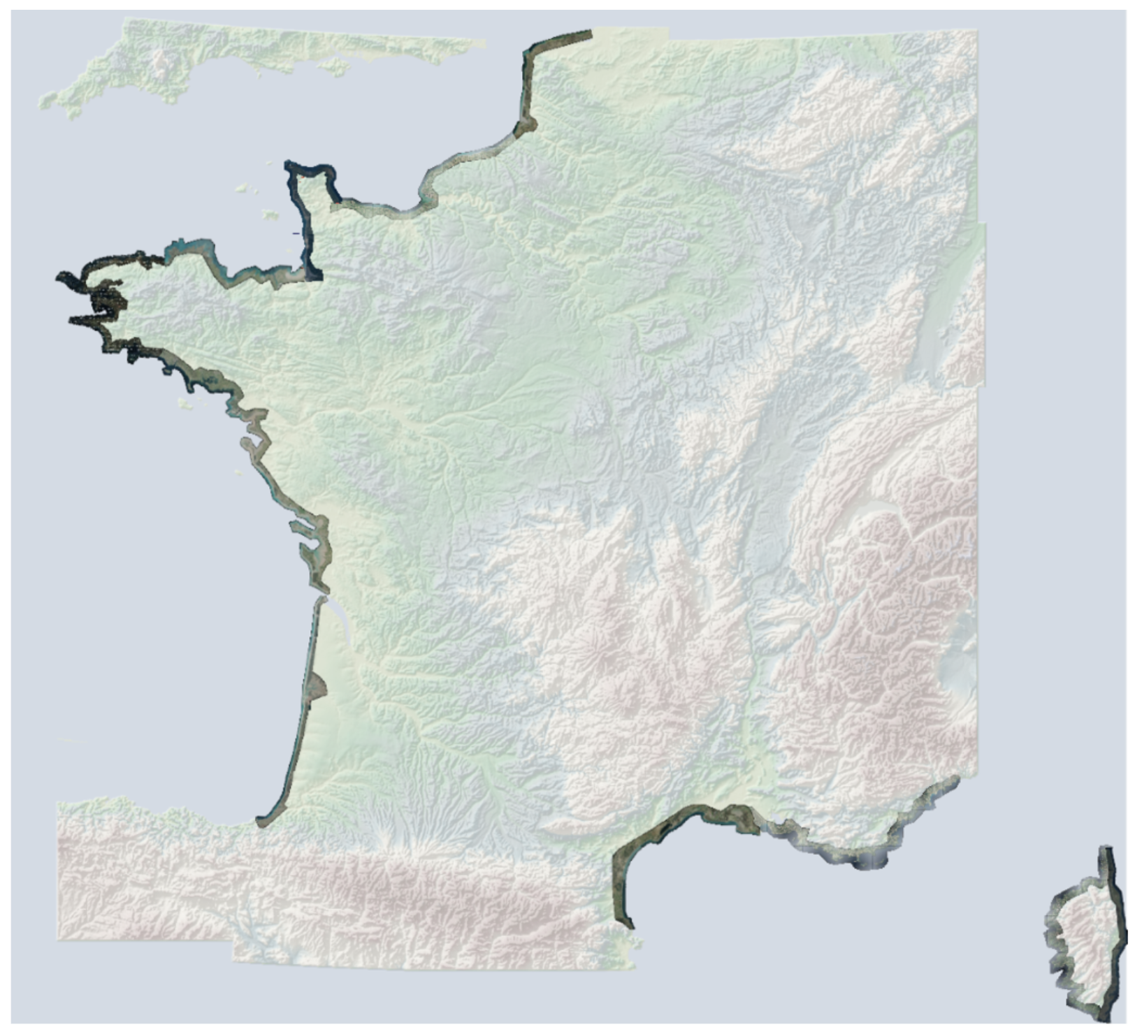
#Pléiades 📡 168 scenes covering the coastal areas of Metropolitan France and Corsica acquired at 50 cm spatial resolution between March 2 and June 13, 2025.
Funded by CNES since 2017, the annual coastal coverage of Metropolitan France and overseas territories supports the analysis of shoreline evolution.
These data are freely accessible to institutional and private stakeholders responsible for public policy or R&D activities, particularly local territorial stakeholders and national actors.
Pending the availability of imagery in raw and orthorectified formats in the DINAMIS catalog, data can be requested via email at images-satellites@ign.fr, and archives dating back to 2017 can be consulted at https://catalogue-dinamis.data-terra.org.