DINAMIS at Cambodia Geospatial Day 2025
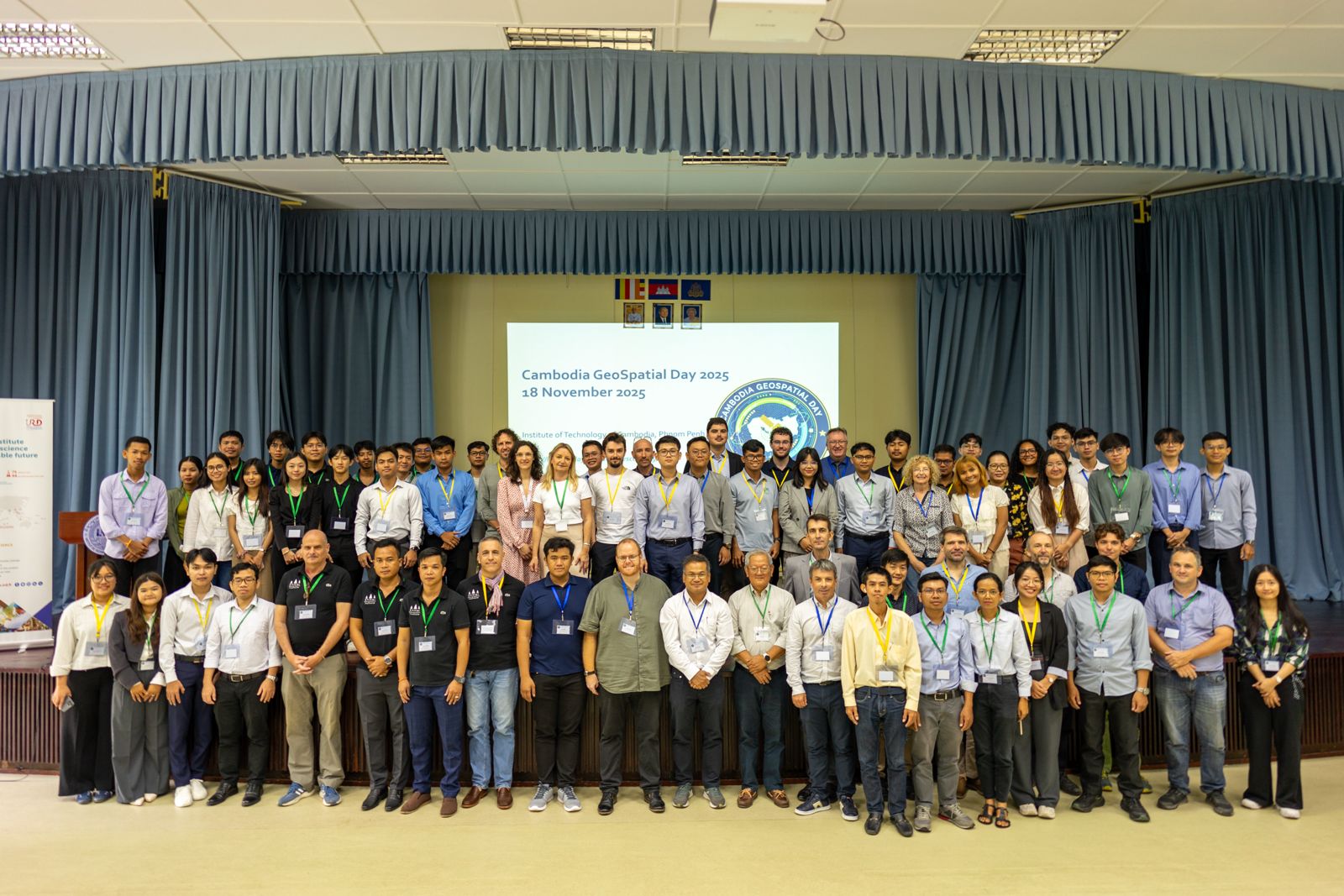
Cambodia Geospatial Day was held on Tuesday, November 18, 2025, at the Institute of Technology of Cambodia (ITC) in Phnom Penh.
Organized by the Khmer Earth Observation Laboratory Kheobs and the Espace-Dev Joint Research Unit (IRD), the event brought together professionals, policymakers, researchers, and students to explore the latest advances in geospatial sciences and technologies in Cambodia.
DINAMIS Participation
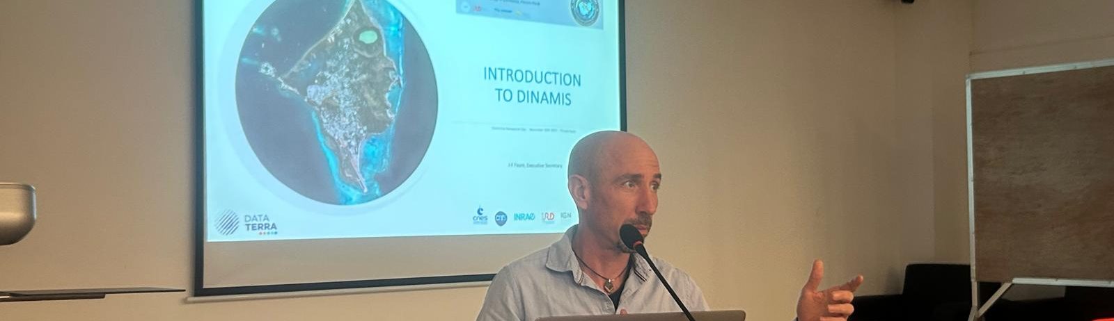
On November 19, DINAMIS participated in the “Remote Sensing Training” session before an audience of approximately thirty participants. The presentation, delivered in English, covered:
- VHR data (Very High Resolution) distribution
- DINAMIS Program services
- Access procedures to data and services
Particular emphasis was placed on the registration procedure, enabling participants to discover how to join the program and gain access to high-resolution satellite imagery.
To register with DINAMIS: Registration page
Cambodia Geospatial Day provided an excellent opportunity to strengthen ties within the international geospatial community and promote access to satellite data for research and applications in Southeast Asia.