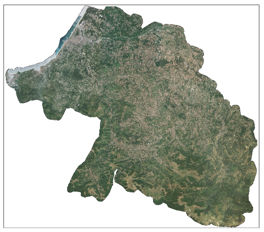
Pays Basque 2026

18 scenes covering the SCOT Pays Basque et Seignanx acquired at 50 cm spatial resolution from 8 June to 22 July 2026 for communaute-paysbasque.fr, to map and monitor territorial planning.

This data is freely accessible to institutional and private stakeholders responsible for public policy or R&D, in particular local territorial actors and national stakeholders.

While the images await release in raw and ortho-rectified formats on the @DINAMIS catalogue, data can be requested by email at images-satellites@ign.fr, and archives dating back to 2017 can be consulted at https://catalogue-dinamis.data-terra.org.
More news

Réunion Island 2026

17 scenes covering Réunion Island acquired at 50 cm spatial resolution between 1 January and 24 May 2026, as part of research programming. This is an opportunity-based coverage. The data […]

2026 Metropolitan France coverage

Complete very high-resolution coverage of metropolitan France for 2026 is nearing completion! The very high-resolution coverage of metropolitan France for 2026 by the Spot 6 satellite, which began on 1 […]

47th ISPRS Symposium in Toronto

DINAMIS took part in the 47th ISPRS Symposium (International Society for Photogrammetry and Remote Sensing) in Toronto this past July, one of the major gatherings for the international remote sensing […]

Search