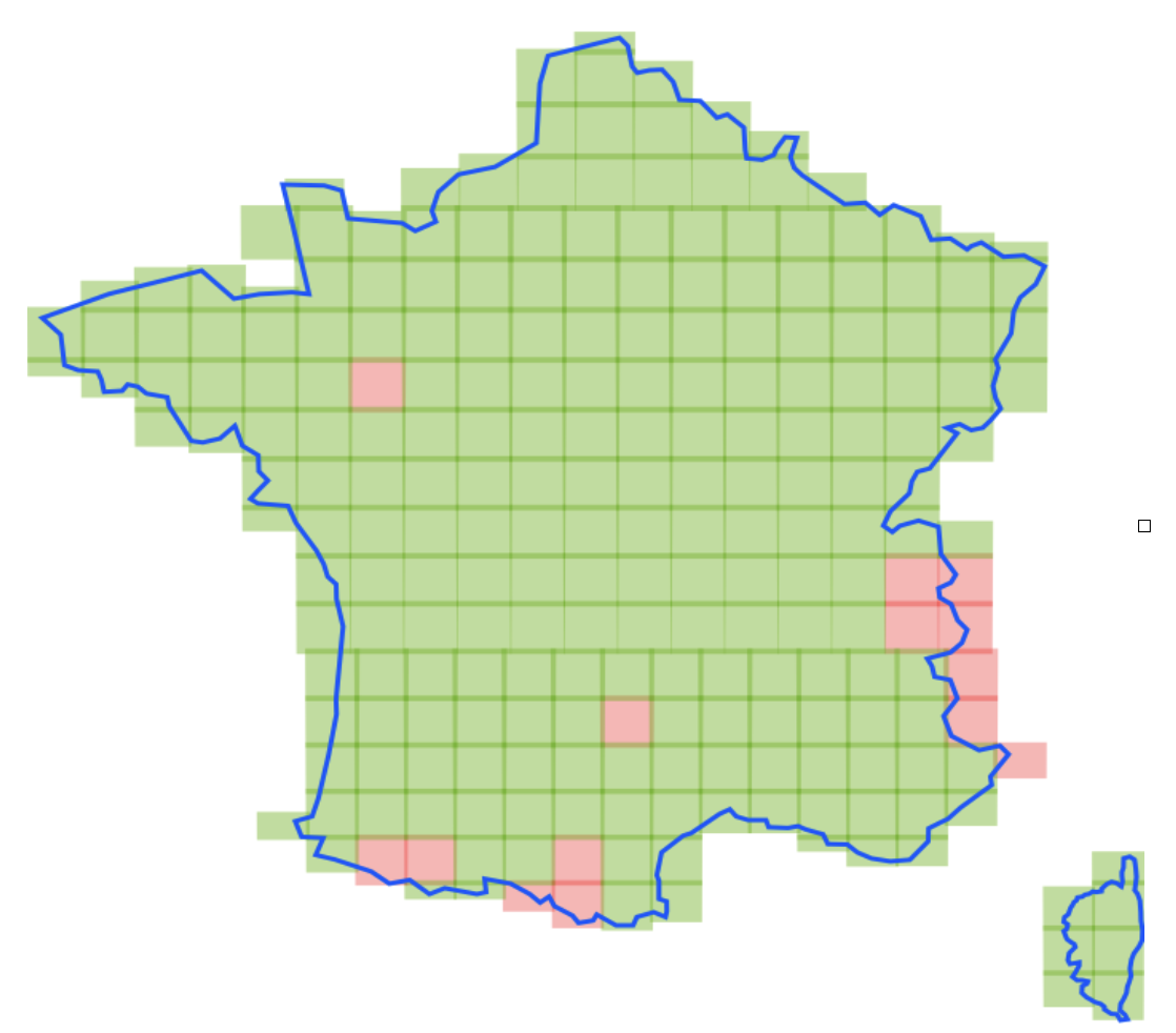
2026 Metropolitan France coverage
Complete very high-resolution coverage of metropolitan France for 2026 is nearing completion!
The very high-resolution coverage of metropolitan France for 2026 by the Spot 6 satellite, which began on 1 March 2026, is still ongoing.
Out of a total of 240 tiles, 226 have already been acquired and validated, representing overall progress of 94.2%. (Tiles shown in green on the map below.)
Data from the 2026 metropolitan coverage will be available in raw and ortho-rectified form on the DINAMIS catalogue in the coming weeks, following the renewal of the contract with Airbus.
As every year, the full coverage, ortho-rectified by IGN with a spatial resolution of 1.5 m for the Panchromatic collection and 6 m for the Multispectral collection, will be available on the DINAMIS catalogue.
We’ll keep you updated.